
Mapa topográfico Ginsburg
Mapa interativo
Clique no mapa para exibir a altitude.
Ginsburg
The town's largest flowing body of water is the Ferndorfbach, a tributary to the river Sieg. The municipal area's average elevation is 427 metres (1,401 ft) above sea level, with its highest elevation being at 678 metres (2,224 ft) at the Riemen, a peak in the Rothaargebirge.
Sobre este mapa
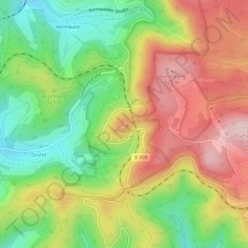
Nome: Mapa topográfico Ginsburg, altitude, relevo.
Altitude média: 510 m
Altitude mínima: 381 m
Altitude máxima: 649 m