
Mapa topográfico Sanger
Mapa interativo
Clique no mapa para exibir a altitude.
Sobre este mapa
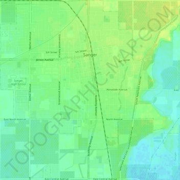
Nome: Mapa topográfico Sanger, altitude, relevo.
Altitude média: 111 m
Altitude mínima: 102 m
Altitude máxima: 120 m
Sanger is a city in Fresno County, California, United States. The population was 24,270 at the 2010 census, up from 18,731 at the 2000 census. Sanger is located 13 miles (21 km) east-southeast of Fresno, at an elevation of 371 feet (113 m).