
Mapa topográfico Romney, Hythe and Dymchurch Railway
Mapa interativo
Clique no mapa para exibir a altitude.
Sobre este mapa
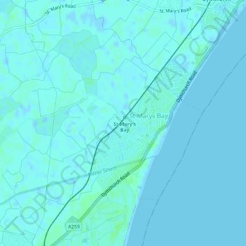
Nome: Mapa topográfico Romney, Hythe and Dymchurch Railway, altitude, relevo.
Altitude média: 1 m
Altitude mínima: -2 m
Altitude máxima: 6 m