
Mapa topográfico Vill
Mapa interativo
Clique no mapa para exibir a altitude.
Sobre este mapa
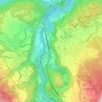
Nome: Mapa topográfico Vill, altitude, relevo.
Local: Vill, Innsbruck, Tirol, Österreich (47.21208 11.38732 47.24851 11.41604)
Altitude média: 827 m
Altitude mínima: 601 m
Altitude máxima: 1.139 m
Outros mapas topográficos
Clique em um mapa para visualizar sua topografia, sua altitude e seu relevo.
Innsbruck
Österreich > Tirol > Innsbruck
Innsbruck, Statutarstadt Innsbruck, Tirol, Österreich
Altitude média: 611 m