
Mapa topográfico Bradford
Mapa interativo
Clique no mapa para exibir a altitude.
Bradford
Bradford Regional Airport is located approximately 15 miles (24 km) south of the city, at Mount Alton. The elevation of the city is 1,443 feet (440 meters) above sea level, but the airport is at an elevation of 2,142 feet (653 meters) above sea level. Because of the higher elevation, the airport often has the coldest reported air temperatures in Pennsylvania. The airport has one of the few National Weather Service stations across the entire northern tier of the state. Temperatures in the city are typically three to seven degrees warmer than at the airport due to the difference in elevation, and actual city temperatures are more representative of other communities in northern Pennsylvania and southwestern New York than are the airport's.
Sobre este mapa
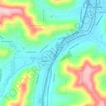
Nome: Mapa topográfico Bradford, altitude, relevo.
Local: Bradford, McKean County, Pennsylvania, 16701, United States (41.94125 -78.67072 41.97693 -78.61504)
Altitude média: 510 m
Altitude mínima: 430 m
Altitude máxima: 685 m