
Mapa topográfico Altona
Mapa interativo
Clique no mapa para exibir a altitude.
Altona
The hamlet of Altona is located in the northern part of the town of Altona at 44°53′24″N 73°39′9″W / 44.89000°N 73.65250°W / 44.89000; -73.65250 (44.890096, -73.65272). The Great Chazy River flows along the southeastern edge of the hamlet, dropping 150 feet (46 m) in elevation in 1.7 miles (2.7 km). The Ganienkeh Community of the Mohawk people is southwest of the hamlet.
Sobre este mapa
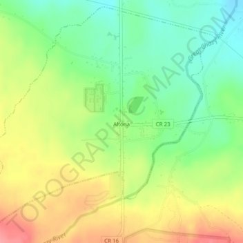
Nome: Mapa topográfico Altona, altitude, relevo.
Altitude média: 196 m
Altitude mínima: 157 m
Altitude máxima: 243 m