
Mapa topográfico Ragged Island
Mapa interativo
Clique no mapa para exibir a altitude.
Sobre este mapa
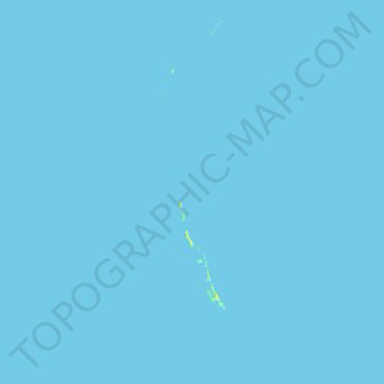
Nome: Mapa topográfico Ragged Island, altitude, relevo.
Local: Ragged Island, The Bahamas (21.91873 -76.11326 23.09800 -75.37491)
Altitude média: 0 m
Altitude mínima: 0 m
Altitude máxima: 32 m
Outros mapas topográficos
Clique em um mapa para visualizar sua topografia, sua altitude e seu relevo.
Grand Bahama
The Bahamas > East Grand Bahama
Grand Bahama, East Grand Bahama, The Bahamas
Altitude média: 1 m
Goat Cay
The Bahamas > Crooked Island and Long Cay
Goat Cay, Crooked Island and Long Cay, The Bahamas
Altitude média: 0 m
Sunshine Park
Sunshine Park, New Providence, The Bahamas
Altitude média: 7 m
Coconut Grove
The Bahamas > Coconut Grove > New Providence
Coconut Grove, New Providence, The Bahamas
Altitude média: 8 m
Long Cay
The Bahamas > Crooked Island and Long Cay
Long Cay, Crooked Island and Long Cay, The Bahamas
Altitude média: 0 m
North Palmetto Point
The Bahamas > Central Eleuthera
North Palmetto Point, Central Eleuthera, The Bahamas
Altitude média: 9 m
Cabbage Hill Settlement
The Bahamas > Crooked Island and Long Cay
Cabbage Hill Settlement, Crooked Island and Long Cay, The Bahamas
Altitude média: 7 m
Great Harbour Cay
Great Harbour Cay, Berry Islands, The Bahamas
Altitude média: 1 m
Little Halls Pond Cay
Little Halls Pond Cay, Exuma, The Bahamas
Altitude média: 0 m
Windermere Island
The Bahamas > Central Eleuthera
Windermere Island, Central Eleuthera, The Bahamas
Altitude média: 3 m
Savannah Sound
The Bahamas > Central Eleuthera
Savannah Sound, Central Eleuthera, The Bahamas
Altitude média: 5 m
Imperial Park
Imperial Park, New Providence, The Bahamas
Altitude média: 6 m
Lucaya
The Bahamas > City of Freeport > Lucaya
Lucaya, City of Freeport, The Bahamas
Altitude média: 7 m
Emerald Coast
Emerald Coast, New Providence, The Bahamas
Altitude média: 7 m
Little Inagua Island
Little Inagua Island, Inagua, The Bahamas
Altitude média: 3 m
Marsh Harbour
Marsh Harbour, Central Abaco, The Bahamas
Altitude média: 2 m