
Obrigado por apoiar este site ❤️
Faça uma doação
Faça uma doação
Mapa topográfico Thorne
Clique no mapa para exibir a altitude.
Obrigado por apoiar este site ❤️
Faça uma doação
Faça uma doação
Sobre este mapa
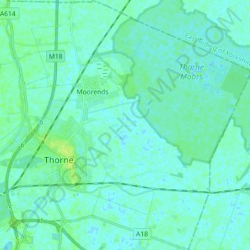
Nome: Mapa topográfico Thorne, altitude, relevo.
Altitude média: 3 m
Altitude mínima: -2 m
Altitude máxima: 11 m
Obrigado por apoiar este site ❤️
Faça uma doação
Faça uma doação
Outros mapas topográficos
Clique em um mapa para visualizar sua topografia, sua altitude e seu relevo.
Campsall
United Kingdom > England > Doncaster
Campsall is a village and former civil parish, now in the parish of Norton, in the Doncaster district, in the county of South Yorkshire, England. It lies 7 miles (11 km) to the north-west of Doncaster, at an elevation of around 50 feet above sea level. The village contains Campsall Country Park. The village…
Altitude média: 24 m