
Mapa topográfico Bridgeville
Mapa interativo
Clique no mapa para exibir a altitude.
Bridgeville
According to the United States Census Bureau, the borough has a total area of 1.1 square miles (2.8 km2), all of it land. Its average elevation is 1,250 ft (381 m) above sea level.
Sobre este mapa
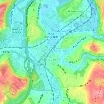
Nome: Mapa topográfico Bridgeville, altitude, relevo.
Altitude média: 275 m
Altitude mínima: 242 m
Altitude máxima: 344 m