
Mapa topográfico Pangrango
Clique no mapa para exibir a altitude.
Pangrango
The Mandalawangi peak of the mountain is a tripoint where the borders of Bogor, Cianjur, and Sukabumi Regencies meet. It is the second-highest mountain in West Java after Mount Cereme. Mount Pangrango ranked 26th of the Ribus of Indonesia with a topographic prominence of 2,426 m (7,959 ft). The mountain is seen from Bogor and Sukabumi, while it is slightly obscured by the neighboring Mount Gede if seen from Cianjur. On a very clear day, it can be seen from Jakarta.
Sobre este mapa
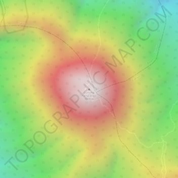
Nome: Mapa topográfico Pangrango, altitude, relevo.
Local: Pangrango, Sukabumi, West Java, Java, Indonesia (-6.76986 106.96398 -6.76976 106.96408)
Altitude média: 2.491 m
Altitude mínima: 1.929 m
Altitude máxima: 2.999 m
Outros mapas topográficos
Clique em um mapa para visualizar sua topografia, sua altitude e seu relevo.