
Mapa topográfico Derwent Valley
Clique no mapa para exibir a altitude.
Sobre este mapa
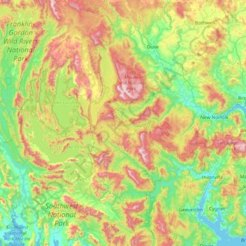
Nome: Mapa topográfico Derwent Valley, altitude, relevo.
Local: Derwent Valley, Tasmânia, 7139, Austrália (-43.11850 145.83287 -42.48872 147.22926)
Altitude média: 405 m
Altitude mínima: -2 m
Altitude máxima: 1.404 m